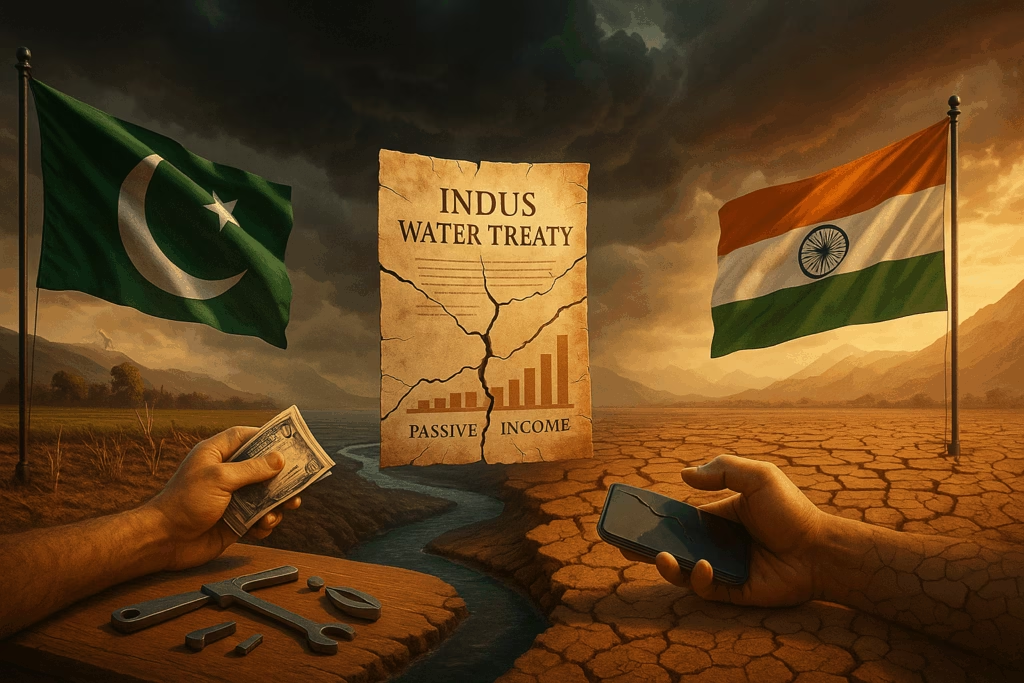
Introduction: A Treaty Built on Ice
In 1948, as India and Pakistan faced off over Kashmir, a young engineer named Raymond Arthur Wheeler arrived in the subcontinent with an urgent mission: to prevent a water war. His work laid the foundation for The Indus Water Treaty, a 1960 agreement that’s survived three wars and countless border skirmishes. But today, a new threat looms—one the treaty’s creators never imagined.
Rising temperatures are devouring Himalayan glaciers, the source of 80% of the Indus Basin’s water. By 2050, these glaciers could shrink by 23%, warns the International Centre for Integrated Mountain Development. As rivers swell unpredictably and droughts intensify, this relic of Cold War diplomacy is cracking under 21st-century pressures. Let’s explore how climate change could turn a technical dispute into a crisis—and what can be done to save this fragile peace.
The Indus Water Treaty: A Delicate Balancing Act
The treaty divides six rivers between India and Pakistan like a geographic custody agreement:
- India controls the three eastern rivers (Ravi, Beas, Sutlej).
- Pakistan gets the three western rivers (Indus, Jhelum, Chenab).
It’s been praised as a diplomatic miracle. But climate change is rewriting the rules:
1. Melting Glaciers ≠ More Water
While retreating glaciers initially increase river flows, this “water bonus” is temporary. The Indus relies on glacial melt for 40-50% of its water—far more than the Nile or Ganges. Once the ice is gone, flows could drop by 35-40% by 2100 (Nature Journal).
Impact: Pakistan—already the world’s 3rd most water-stressed country—faces agricultural collapse. India’s hydropower projects like the Kishenganga Dam (a decade-long dispute) become flashpoints.
Climate Change vs. Treaty Mechanics
The treaty’s 1960s framework clashes with modern climate realities:
The “Fixed Flow” Fallacy
- Then: Water allocations were based on historical data from 1922-1960.
- Now: Monsoon patterns are erratic. In 2022, Pakistan saw 800% above-average rain, while India’s Himachal Pradesh suffered drought.
Result: Pakistan often accuses India of withholding water during shortages, while India claims it’s simply managing variable flows.
The Silent Crisis: Silt & Salt
Climate change isn’t just about water quantity—it’s altering quality:
- Siltation: Increased erosion from glacial melt clogs Pakistani dams, reducing storage capacity. Tarbela Dam has lost 35% of its reservoir space to silt.
- Saltwater Intrusion: Rising sea levels are salinating the Indus Delta, displacing 1.2 million people.
The Treaty’s Blind Spot: It regulates water sharing but says nothing about sediment management or ecosystem health.
A Ray of Hope: Lessons from the Ground
Despite tensions, climate disasters have sparked unlikely collaborations:
- 2022 Pakistan Floods: India offered aid despite diplomatic frost, hinting at disaster diplomacy potential.
- Punjab Farmers Unite: Cross-border farmer groups now share drought-resistant crop techniques via WhatsApp.
Innovative Solutions in Play:
- AI-Powered Forecasting: Indian institutes are piloting glacial monitoring systems that could benefit both nations.
- Water Banking: Storing excess monsoon flows in underground aquifers, as tested in Gujarat.
Conclusion: Rewriting the Playbook
The Indus Water Treaty isn’t doomed—it just needs a climate clause. Imagine:
- Joint India-Pakistan commissions to monitor glacier health.
- Dynamic water-sharing formulas adjusted to annual snowmelt data.
- Shared funding for silt management and delta restoration.
As Sundar P. Sharma, a Nepali hydrologist, told me: “Water doesn’t carry flags. Our ancestors shared this basin for 5,000 years—climate change shouldn’t end that legacy.”
Call to Action:
What’s your take? Should the Indus Water Treaty be renegotiated for the climate era? Share your thoughts below or explore our deep dive on how AI is reshaping water diplomacy.
Visuals to Include:
- Interactive Map: Show glacial retreat in the Indus Basin from 1960 vs. 2024.
- Infographic: Timeline of treaty disputes vs. major climate events.
- Data Table: Compare historical vs. projected water flows at key dams.
References Embedded as Hyperlinks: